Gobi desert geography is mostly gravel plain, steppe and rocky mountains, and NASA puts sand dunes at only about 5% of the desert. For dunes go to Khongoryn Els; for the typical Gobi, look at the plains.
This field guide runs from the most widespread landforms to the most local ones, and the entries are not scored against each other. Each says what the landform is, how it formed where the evidence allows, where to look and who it suits. For wider background, start with our gobi desert facts overview.
- Spread: how much of the desert the landform represents decides how often you will meet it.
- Formation: rock type, rain and wind explain why a surface looks the way it does.
- Location: some landforms are everywhere, others sit in a named area.
- Fit: a landform suits some travellers and some interests better than others.
Mongolian Plateau and Gobi elevation
The Gobi lies on a plateau roughly 910 to 1,520 m above sea level, as WorldAtlas describes it. That span is a range across the plateau, not an average, so treat it as the bracket for much of the desert floor and expect the mountains to rise well above it.
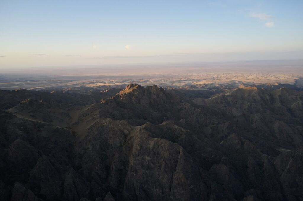
The Mongolian Plateau is the platform for every other landform in this guide, since the plains, rock, ranges and dunes all sit on it. For planning, think of the Gobi as high, varied ground rather than a flat lowland of sand. This entry suits anyone who wants the big picture before choosing a place to visit.
Gravel plains
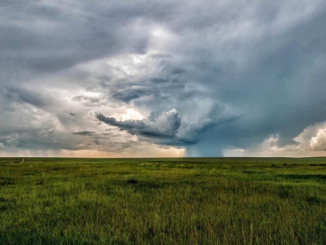
Gravel plain is the default Gobi surface. According to Discover Mongolia, most of the terrain is gravel plain, steppe and rocky mountains rather than dunes. NASA describes the ground as a shallow layer of gravel that overlays granite, slate and other rocks.
That answers what the gravel plain terrain looks like: a thin cover of loose stones lying directly on older bedrock, not deep sand. It also answers whether the Gobi is mostly sand or rock. It is mostly rock and gravel, and only about 5% is dunes.
Who it suits: travellers who want to understand the Gobi as it mostly is. Limitation: the plains are the baseline rather than the showpiece, so the landmarks come from the mountains, dunes and cliffs described below.
Rocky terrain and bare rock
Rocky ground is the second face of the Gobi. Journeys International notes that much of the Gobi is not sandy but covered with bare rock. WorldAtlas adds that the desert plains mostly consist of sedimentary rocks as old as 66 million years.
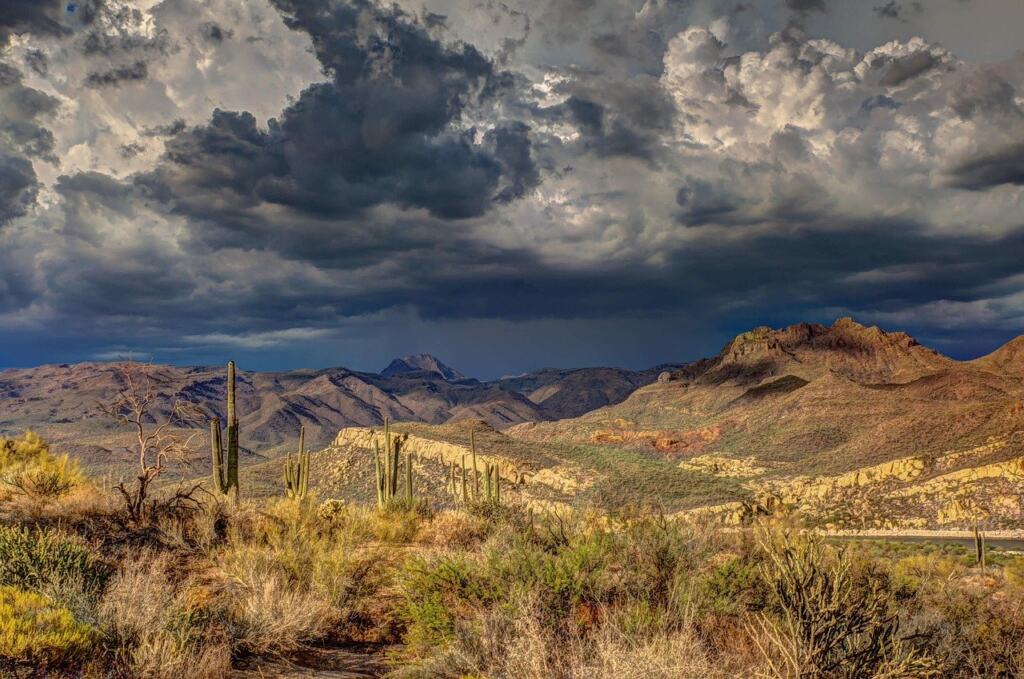
For a reader, the useful point is that the rock record here is close to the surface. Where gravel thins or is absent, you see the older rock itself. This entry suits people interested in geology and in rocky terrain with sparse shrubs, and it is less rewarding for anyone expecting classic rolling sand.
Takir clay flats
Takir is the cracked crust left when seasonal rain evaporates on clay soil, according to WorldAtlas, which also calls it salt flats. It is a small-scale surface type, and it shows that even in a desert water shapes the ground.
Because takir depends on seasonal rain, its look depends on where and when rain has fallen. It suits visitors who notice surface detail, and it is not a destination in itself.
Gobi Altai and neighbouring mountains
Mountains frame the desert. Discover Mongolia places the Altai Mountains to the west of the Gobi and the Khangai Mountains to the north. The Gobi Altai belongs to the Altai system, and NASA reports that peaks in the Altai Mountains exceed 12,000 feet (about 3,658 m).
Set against the plateau elevation above, these ranges give the Gobi real relief. Choose the mountains if you want views and a break from the flat plains. For the southern ranges and gorge scenery, see our guide to gobi gurvansaikhan national park.
Khongoryn Els singing dunes
Size and setting
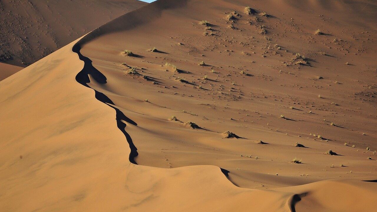
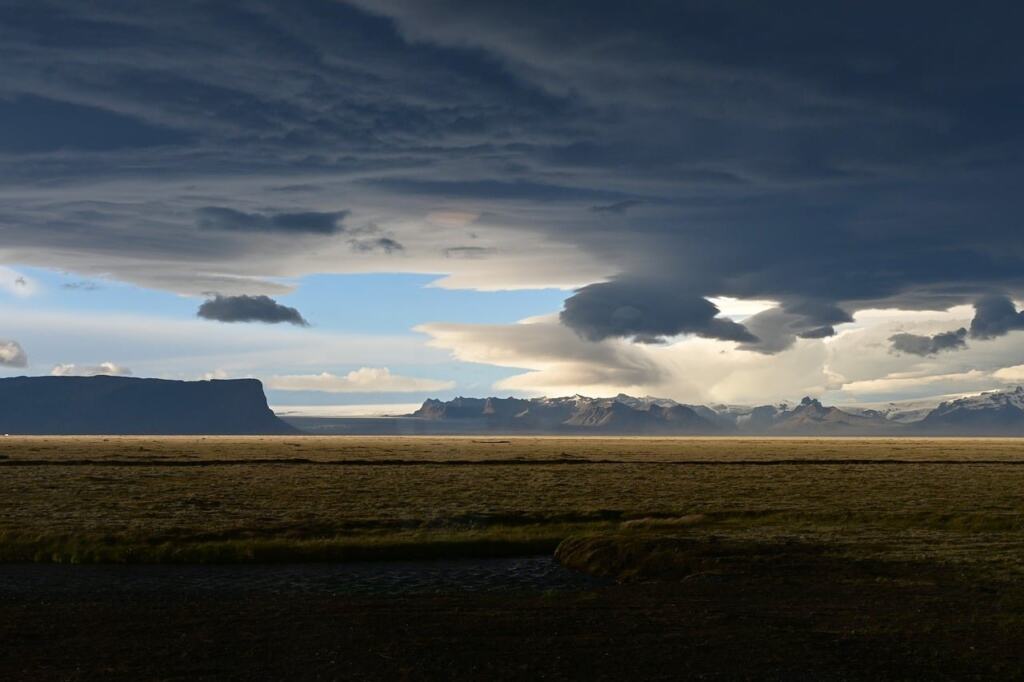
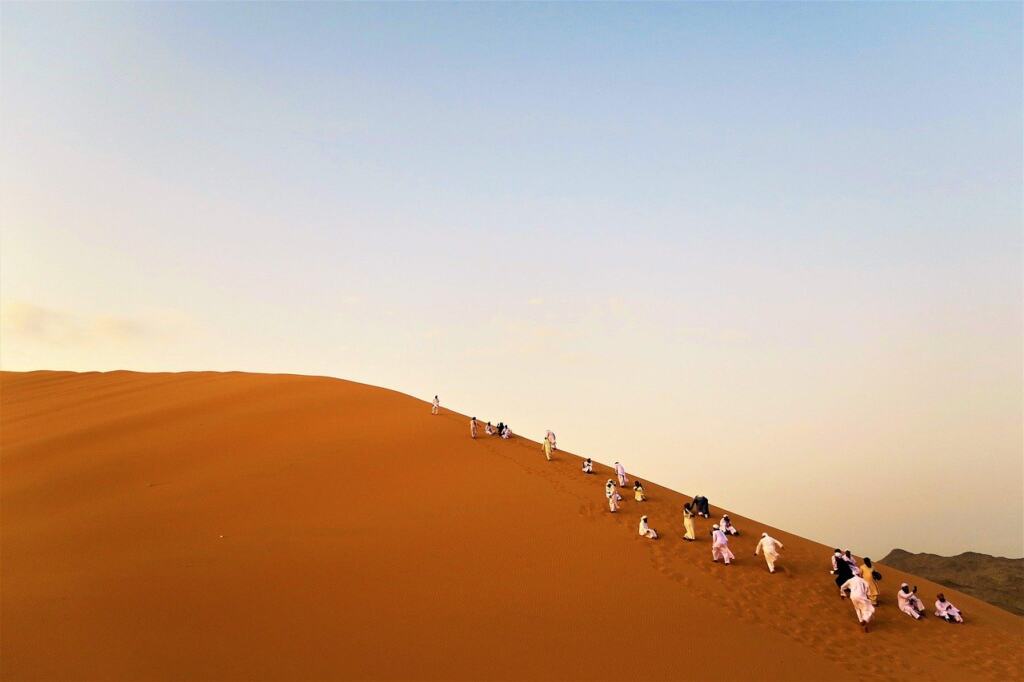
Khongoryn Els is a dune field in the Gobi. Discover Mongolia says it stretches roughly 100 km and rises up to 300 m in places. The height is a ceiling for the tallest parts, not a typical dune height. Dunes cover only about 5% of the Gobi, so this field is a destination to seek out, not a landscape you will cross by accident.
The same source notes that wind constantly reshapes the dunes, so crests and slopes keep changing. Khongoryn Els suits visitors who want the classic sand-desert image and are prepared to travel for it.
Why the dunes make a sound
The Khongoryn Els dunes make a sound in strong wind, which is why they are called the singing sand. Discover Mongolia describes it as a low booming noise. Since the sound is reported in strong wind, a calm day is not the time to count on hearing it. The shifting dune surface is part of the same picture, because wind keeps working the sand.
Sandstone cliffs and canyon landforms
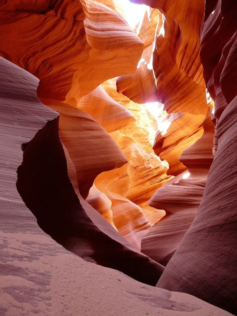
Not every Gobi landmark is sand or gravel. WorldAtlas identifies the sandstone formations of Bayanzag, known as the Flaming Cliffs, in the south Gobi of Mongolia. They show how erosion of sedimentary rock cuts the plateau into cliffs and narrow, carved landforms.
For what such rocks have yielded, see our guide to gobi desert dinosaurs. This entry suits visitors who want sculpted rock and fossil interest. Its limitation is scale: these are local features within a vast region, so plan them as stops, not as the character of the whole desert.
Landforms compared at a glance
| Landform | What it is | Where to look | Planning use |
|---|---|---|---|
| Gravel plains | Shallow gravel layer over granite, slate and other rock | Most of the terrain | The default Gobi surface; plan around it as the baseline |
| Mountains | Altai peaks exceed 12,000 feet; Khangai range to the north | Altai to the west, Khangai to the north | Choose for relief and views |
| Dunes | About 5% of the Gobi; Khongoryn Els is roughly 100 km long and rises up to 300 m in places | Khongoryn Els | Go for dunes deliberately, since they are the exception |
Figures are from NASA and Discover Mongolia.
Matching landforms to your interests
- Typical Gobi: spend time on the gravel plains and bare rock, since they make up most of the desert.
- Photography and scale: pick Khongoryn Els for ridge lines and long climbs, and the mountain edges for height.
- Geology and fossils: prioritise the sandstone formations and exposed sedimentary rock.
- Sound: aim for a windy day at the dunes, because the booming is tied to strong wind.
Frequently asked questions
What does the name Gobi mean?
According to NASA, Gobi means “waterless place.”
How large is the Gobi?
WorldAtlas gives about 1.3 million km2 across northern and northeastern China and southern Mongolia.
Which town is the gateway to the South Gobi?
Dalanzadgad is the gateway city in Umnugobi (South Gobi) province, as Discover Mongolia notes.