| Silk Road feature | What the record shows | Planning use |
|---|---|---|
| Route beyond Dunhuang | The network splits at the Taklamakan into a more direct, dangerous southern route (Loulan, Hotan, Kashgar) and a longer northern route (Hami, Turfan, Kucha). | Trace both branches from Dunhuang on a map. Do not draw a single line across the Gobi. |
| Dunhuang’s position | It lay at the crossroads of three major branches of the ancient routes to the west. | Treat it as the natural starting point for any Silk Road itinerary on the Gobi’s edge. |
| Water at Dunhuang | Snow-fed Daquan River water let caravans resupply before desert crossings. | Read oasis towns as supply stops, which explains why routes follow them. |
| Pack animals | Camels, not horses, made the long desert stages possible. | Use camels as the reference point when judging historic distances and loads. |
| Trade cycle | Trade peaked under the Tang, was revived under the Mongols in the 13th century, and declined after sea routes opened. | Match the period to the sites you read about. The Tang era and the Mongol era left different records. |
These points come from the Silk Road overview at westwards.de and the Dunhuang account at Into Far Lands.
The silk road gobi desert story is one of edges and oases. The documented routes run through towns such as Dunhuang, Hami, Turfan and Kucha, and camels, not horses, handled the long desert stages.
For the physical setting behind that history, start with our gobi desert facts guide, then return here for the trade routes, the oasis towns and the explorers.
Routes that skirted the desert
Did the Silk Road cross the Gobi Desert? The named stages in the record are oasis towns on the margins and beyond Dunhuang, not a straight line over open desert. Beyond Dunhuang, the account on westwards.de describes the road splitting into a more direct and dangerous southern route and a longer northern route. The choice for a caravan was therefore between a shorter, riskier line and a longer line with more towns.
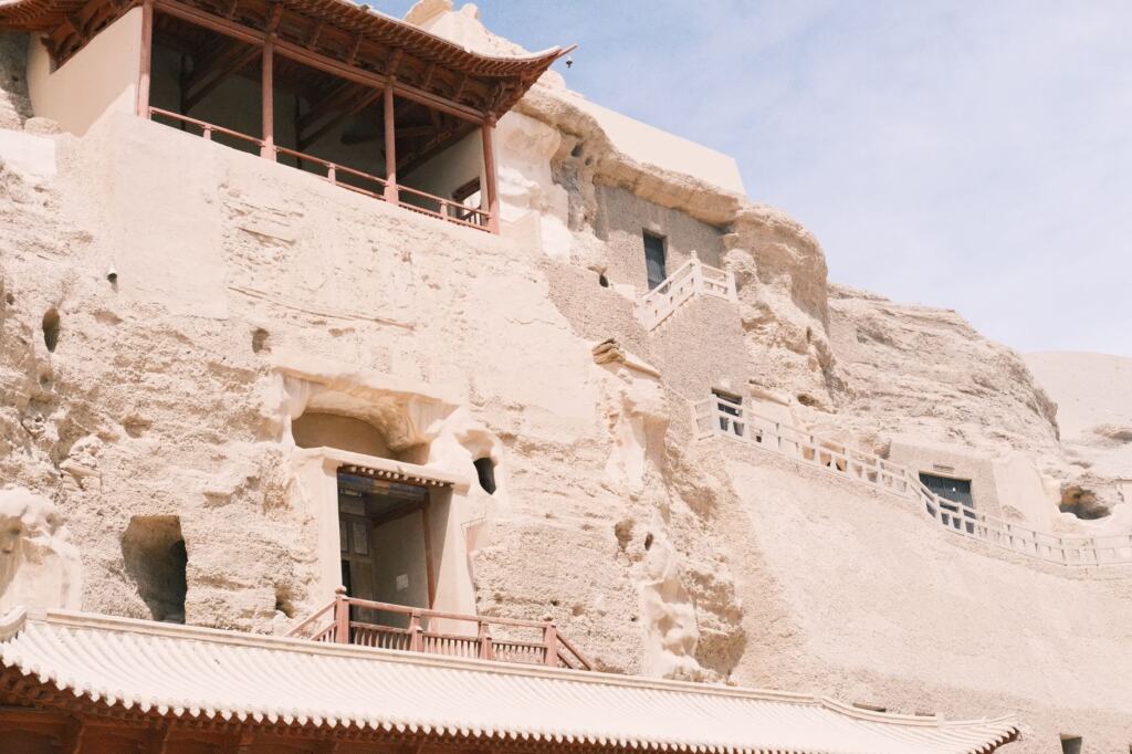
- Southern route. It runs through Loulan, Hotan and Kashgar. It suits a reader tracing the shortest historic path, and it is described as the dangerous one.
- Northern route. It passes the oasis towns of Hami, Turfan and Kucha. It is longer, and the string of towns is the reason it matters for anyone asking which settlements supported travellers.
- Dunhuang as the junction. Into Far Lands calls it the crossroads of three major branches of the ancient routes to the west. China Fetching records that it was officially established as a frontier garrison city in 111 BC.
The practical lesson is to anchor any map of the Silk Road to these named towns. If a map shows one confident line through the middle of the Gobi, treat it as a simplification. The towns, rather than the sand between them, are what the record documents.
Water is what held these routes together, and the same oasis logic still shapes the region today. For how that works on the ground, see our guide to the oasis in the gobi desert.
What caravans carried and why camels mattered
Caravans moved goods in both directions. According to westwards.de, traders brought silk westward along with spices, carved jade and medical rhubarb. In the opposite direction they transported horses, glassware, and gold and silver goods.
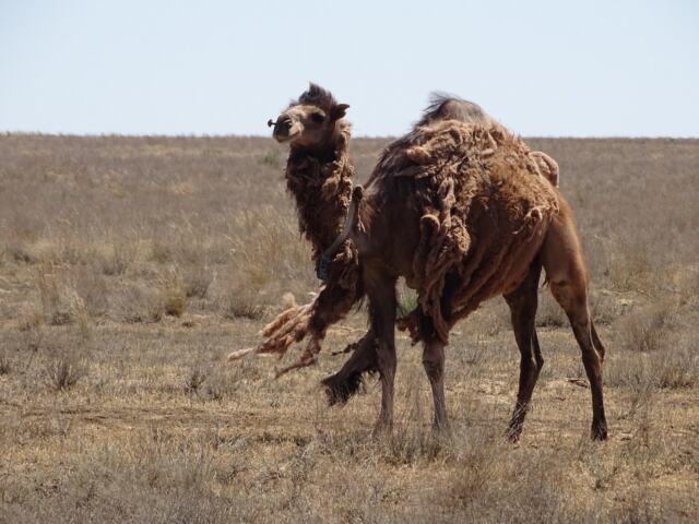
That mix has a useful implication. Horses were a trade good heading east, but they were not the animal that carried the trade across dry ground, because horses would not survive travel on the long desert stages. Domesticated camels filled that role, and the Bactrian camel is the animal people picture when they imagine a caravan.
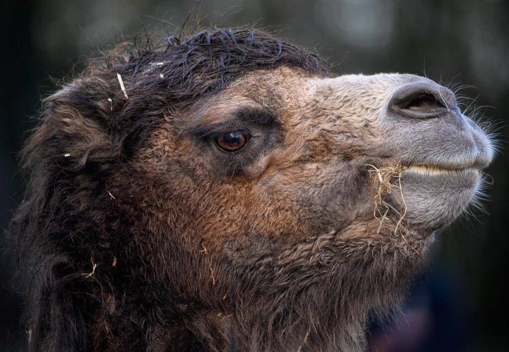
- For reading historic loads. Think in terms of compact, valuable goods such as silk, jade and metalwork, carried by camel stage by stage.
- For reading oasis towns. A town that grew its own food mattered as much as one that traded luxuries. Dunhuang, as an oasis, produced melons, wheat and grapes, according to Into Far Lands.
Dunhuang and the oases that kept travellers supplied
Dunhuang is the best-documented stop in this record. Into Far Lands explains that abundant water from the snow-fed Daquan River allowed caravans to resupply before desert crossings. For a traveller, that is the key to the town’s role. It was a place to rest animals and stock up before the harder stages.
The oasis offered more than supplies. China Fetching notes that Moon Crescent Spring, at the foot of Mingsha Mountain, has been a scenic oasis since the Han Dynasty (202 BC to 220 AD). The same source records that the first cave of the Mogao Grottoes was built in 366 AD.
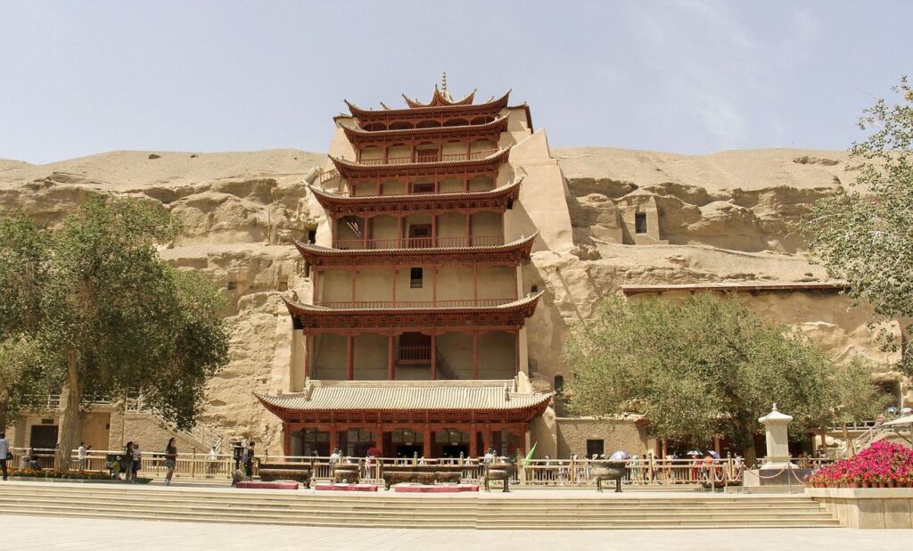
Mogao Grottoes and the UNESCO listing
The Mogao Grottoes are a UNESCO World Heritage Site. China Fetching describes more than 700 cave temples preserved with about 450,000 square meters of murals and 2,415 statues. The figures show why the site matters for Silk Road history. It records centuries of Buddhist art along a route that carried ideas as well as goods.
If you want a visit to teach you something about trade, look at Dunhuang’s setting as well as its caves. The garrison, the river and the crossroads explain why a cave complex grew here.
The environmental pressures on desert-edge settlements today are covered in gobi desert desertification.
Explorers and what they removed
Who explored the Gobi and what did they find? The best-documented answer centres on Dunhuang’s Library Cave. China Fetching records that Wang Yuanlu discovered it in 1900. Its manuscripts contained documents dated from 405 to 1002.
- Aurel Stein, 1907. Stein obtained over 9000 pieces of scrolls from Wang Yuanlu, and the material is mostly in the British Museum.
- Paul Pelliot, 1908. He picked and bought the 6000 ancient classics he judged most valuable, and these went to France.
- Wider competition. westwards.de adds that in the early 20th century Western and Japanese archaeologists competed in digging out as many relics as they could. It says the most beautiful artifacts of the Silk Road are now in London, Berlin, Tokyo and Washington.
This history has a practical consequence for anyone researching Silk Road objects. Manuscripts and artworks from Dunhuang are not concentrated at the site. To see the material, you need to look at museum collections abroad as well as at the caves.
Silk Road periods in outline
The dates below give the broad sweep, drawn from westwards.de and China Fetching.
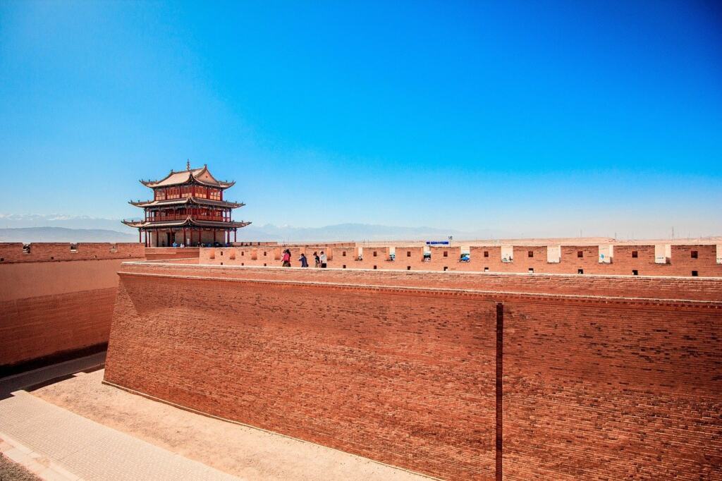
- Establishment. The Silk Road in China was established around the middle of the first century BC.
- Frontier consolidation. Dunhuang became an official frontier garrison city in 111 BC.
- Peak. Trade reached its peak during the political stability of the Tang Dynasty.
- Mongol revival. The Mongols revived trade in the 13th century. This is the period that connects Mongolia’s own history to the overland routes.
- Decline. Trade then declined after sea routes opened.
Use these periods as labels, not as a precise calendar. They tell you which era a given site, object or account belongs to.
Frequently asked questions
When was the term “Silk Road” first used?
It first appeared in a presentation by the German geographer Ferdinand von Richthofen in the 1870s. It is a modern label, not a name the traders themselves used.
What does the name Dunhuang mean?
It means “blazing beacon”. The name dates from when the town was set up as a garrison outpost.
Who founded the Dunhuang Academy?
Chang Shuhong, described as the guardian of Dunhuang, arrived in 1943 and established the Dunhuang Academy.
Is there a first-hand book about life in the Gobi?
Mildred Cable and Francisca French wrote The Gobi Desert, a book that covers observations of Gobi life from the 1910s to the 1930s.